Mine surveying
Mine surveying
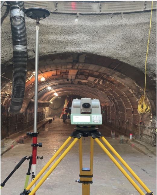
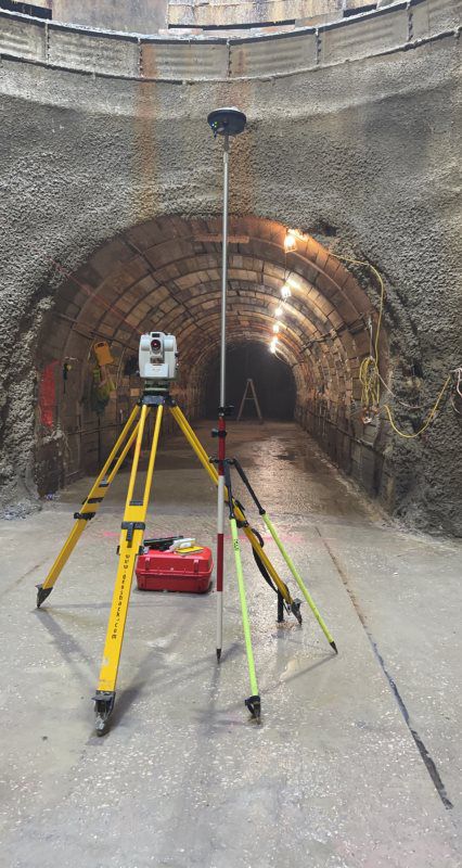
Fimtech works to provides extensive Information to prevent inadvertent undercutting of installations and unplanned intersection of workings. It is important to know the positions of all points underground relative to every place on surface, particularly for management of emergency situations and rescues.
Mine operators require detailed plans for designing and controlling the excavation of mine workings and the construction of all mine facilities. Our expect team provide satellite control for all mining excavation, position, direction, elevation and dimensions.
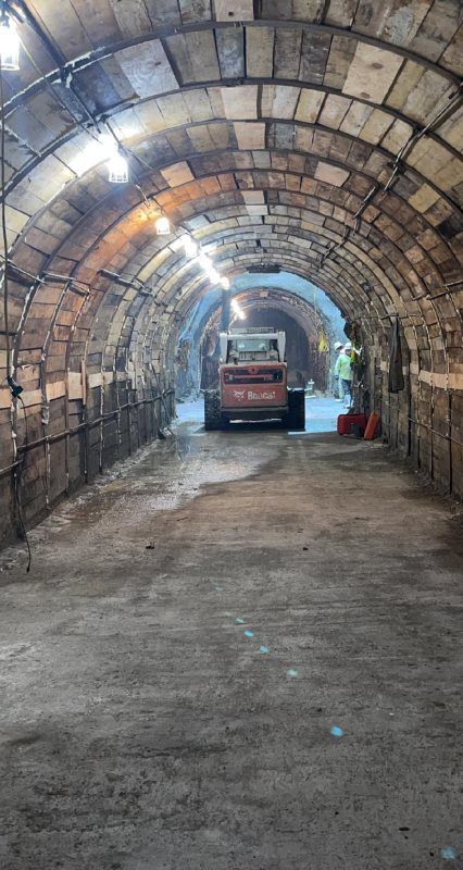
Measuring & recording mining activities: development metres, bank cubic metres extracted in open pits, face advance or area mined in stopes (mainly in tabular orebodies), tonnage mined. This information may be used for payment of contractors or of incentive bonuses to workers; for reconciling ore mined with plant output and calculating or verifying mining and plant recoveries; for reporting to government, confirming compliance with licensing arrangements and other purposes.